
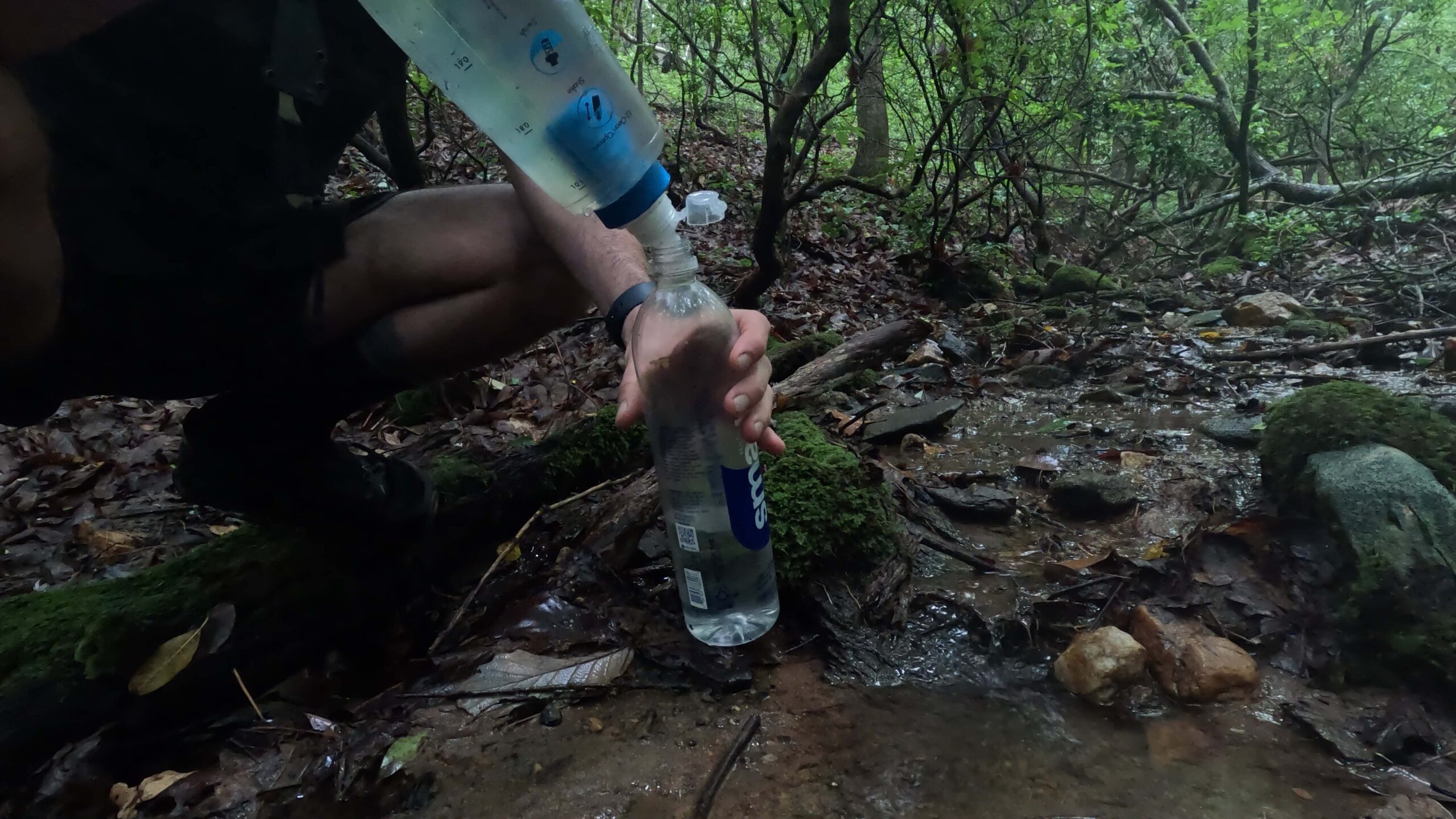
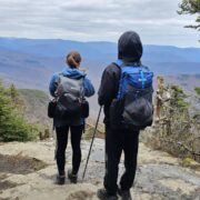
Over the July 4th, 2023 week I hiked the Georgia Loop – a 60 mile loop that encompasses sections of the Appalachian Trail, Benton MacKaye Trail, and the Duncan Ridge Trail. It was a great hike, although I would caution against hiking the DRT during the summer as it was very overgrown in places. This was the first time that I’ve hiked the DRT and the main reason that I’m writing this report is to provide some data on water sources on that portion of the trail. I already had the Farout maps for the BMT and AT from previous hikes, so finding reliable water on those sections was easy. However, I could not find a lot of detail on water sources on the DRT and ended up carrying more water than normal over this section. So, if you’re thinking about hiking the Duncan Ridge Trail here are the reliable water sources I found during my hike. Hiking the loop CCW:
- White Oak Stomp Spring: 34.78299, -83.97661
- If you didn’t know this spring was there you would miss it. It’s a bushwhack to get down to the spring and there’s no indication on trail that it’s down there. If you head toward the coordinates provided here, you’ll find water.
- Mulky Gap Spring: 34.79562, -84.04069
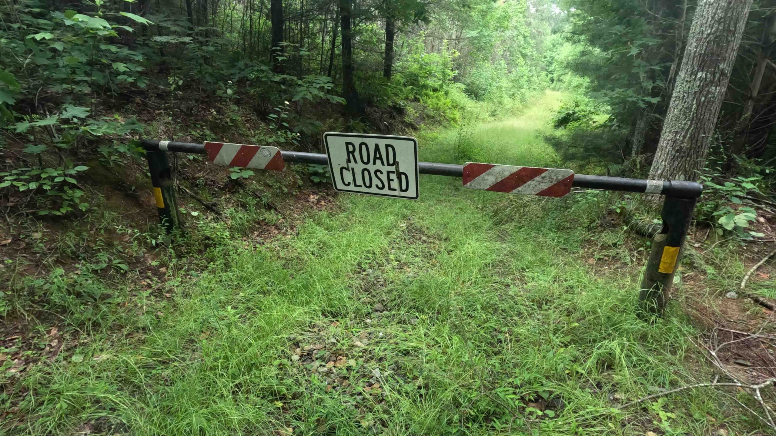
- Go past the gate and keep going straight. When you see a clearing and a handicap hunting blind to your left keep heading straight from the clearing into the trees. You’ll see the spring about 20 yards ahead.
- High Top Mountain: 34.80392, -84.08775
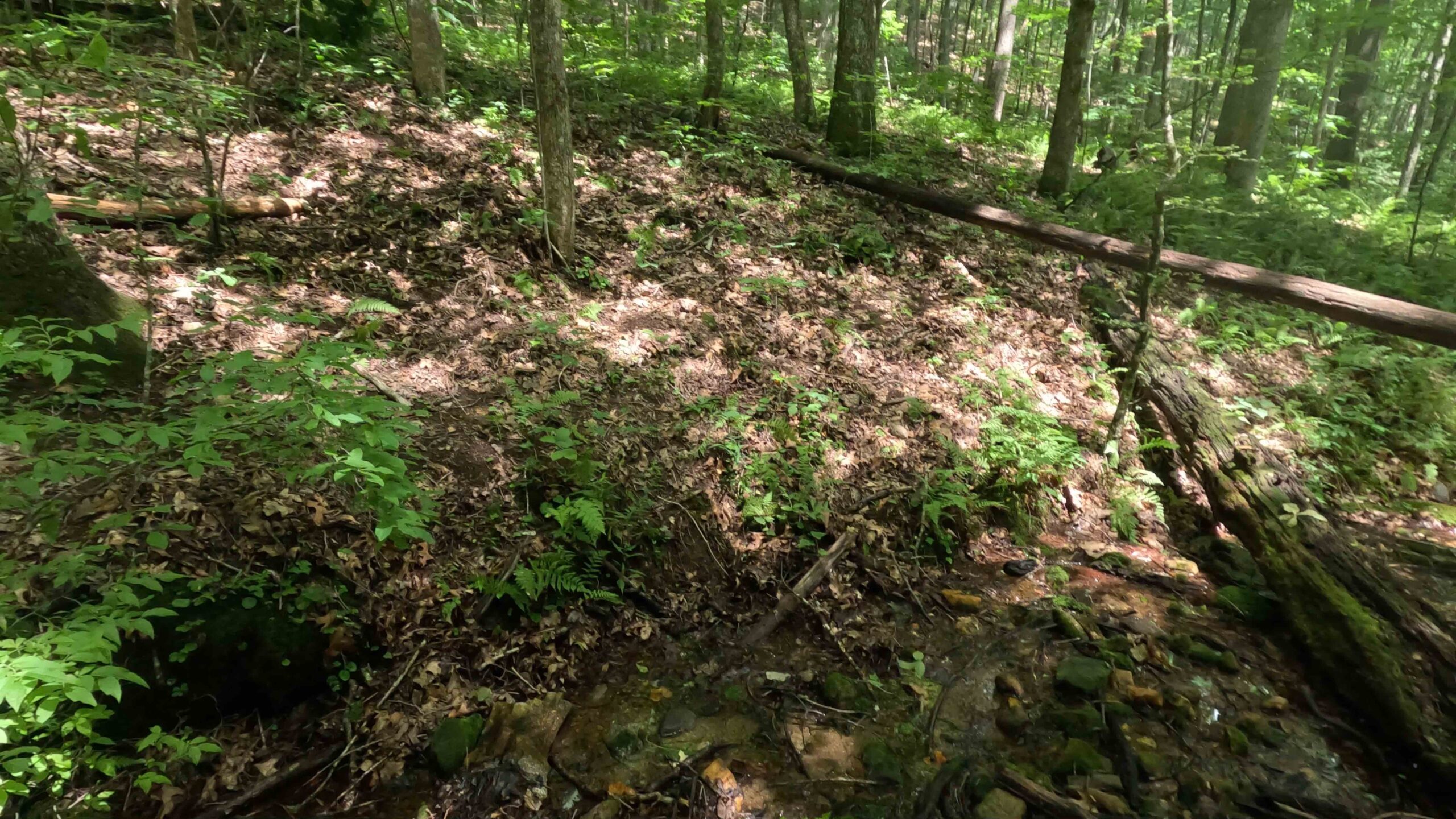
- There’s a campsite at the top of High Top Mountain. At the campsite take the side trail on the south side down quite a ways until you find the spring.
I hope someone finds this information useful.
Happy trails – DocWats


Home › Forums › Georgia Loop